The Summit Challenge
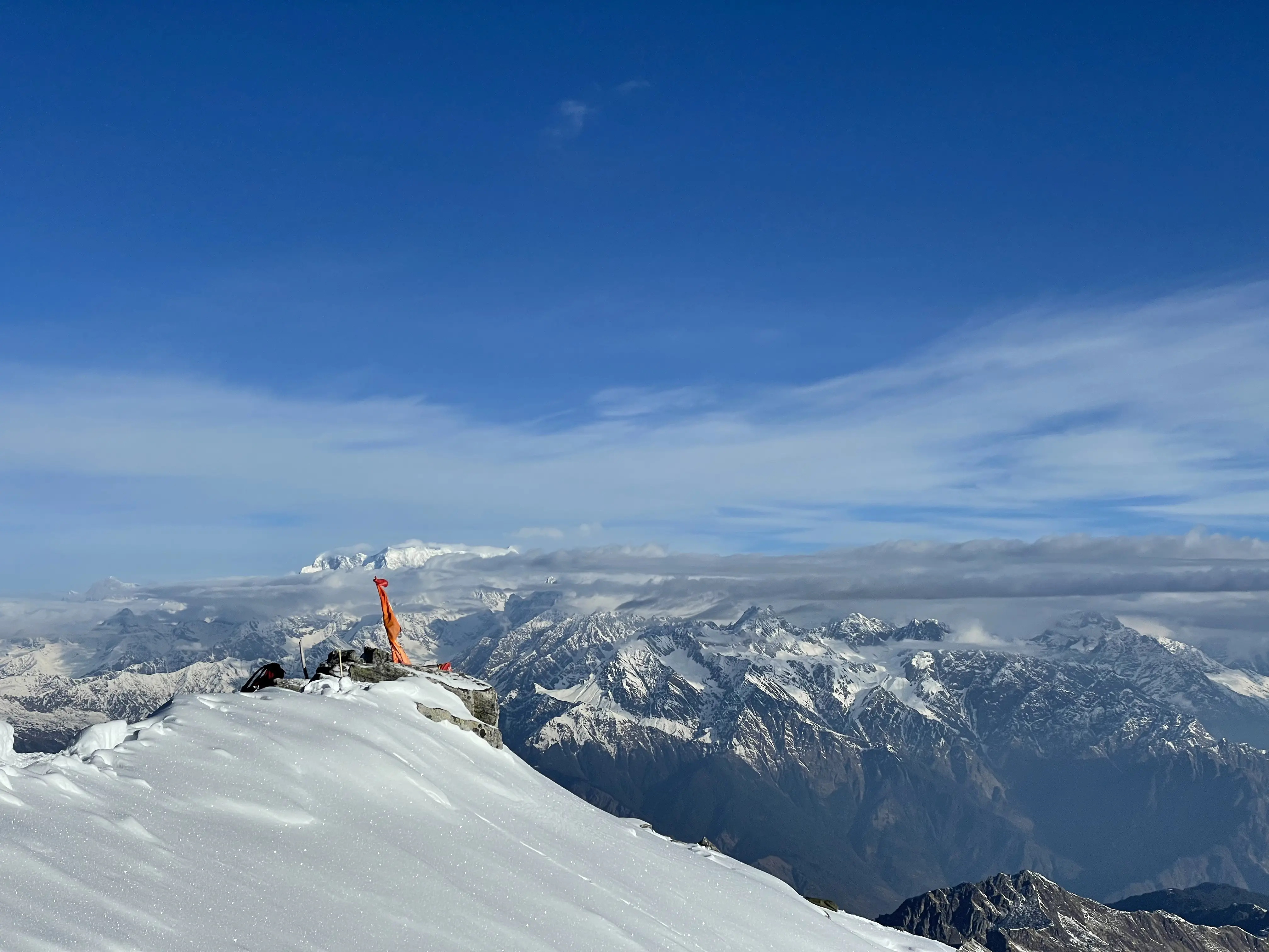
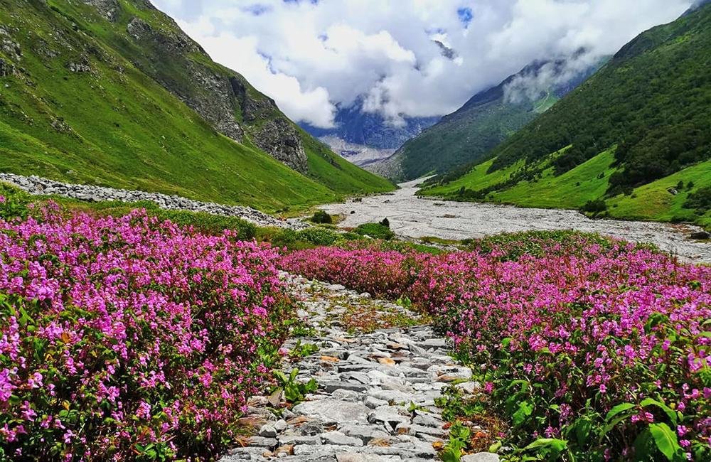
From the scenic meadows of Joshimath to the exhilarating summit of Pangarchulla Peak at 15,069 ft, experience an unforgettable Himalayan adventure through pristine forests, alpine meadows, and snow-clad ridges.
Altitude: 1,875m / 6,150ft.
Drive Distance: 245 km | 9-10 hours
The Pangarchulla Trek, rising to 15,069 feet, is one of
Uttarakhand’s most
exciting high-altitude adventures. The journey begins with a scenic 250 km drive
from Rishikesh to Joshimath, passing stunning confluences like Devprayag and
Karnaprayag.
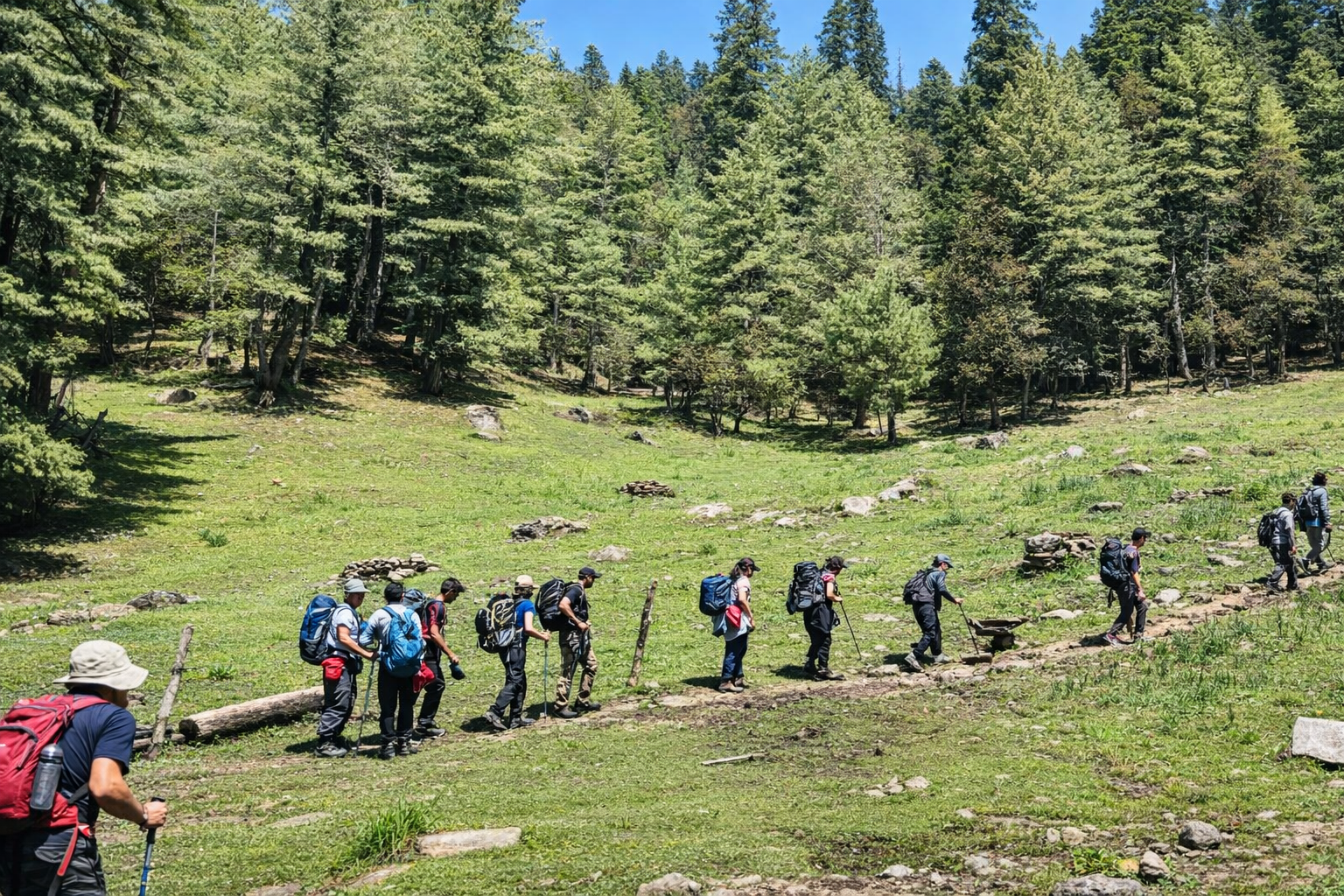
This trek starts from Tugasi or Dhak village and takes you through
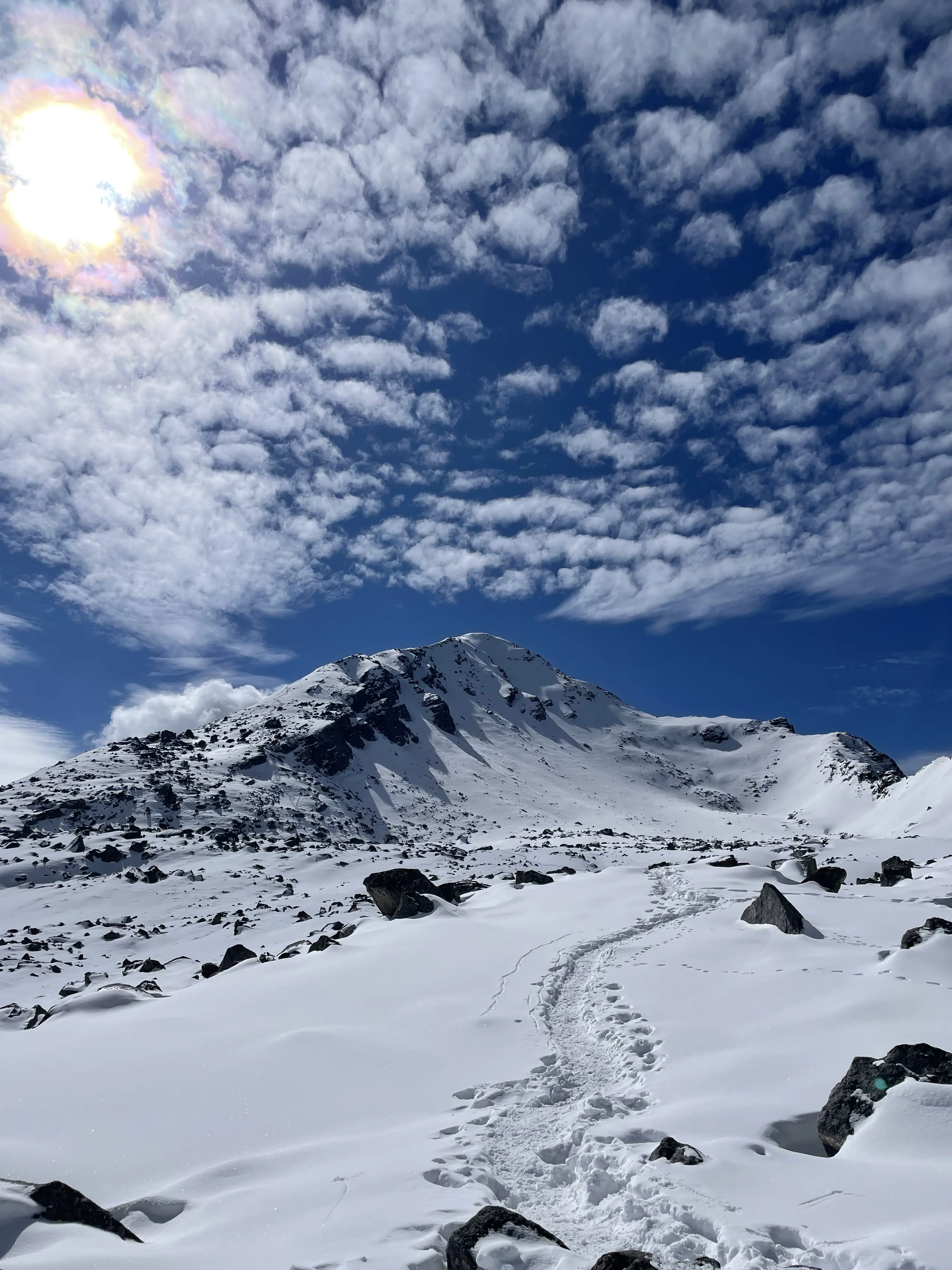
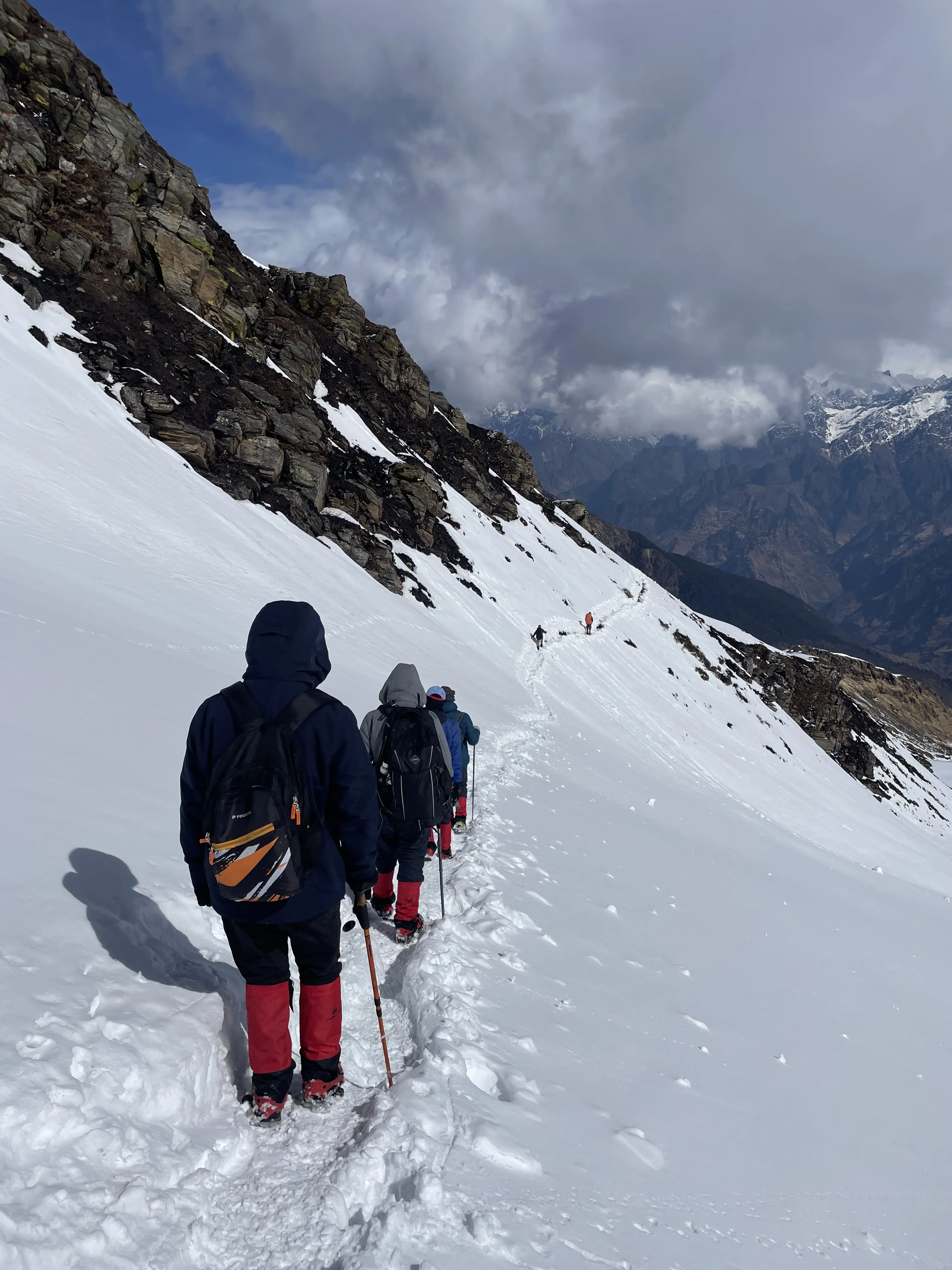
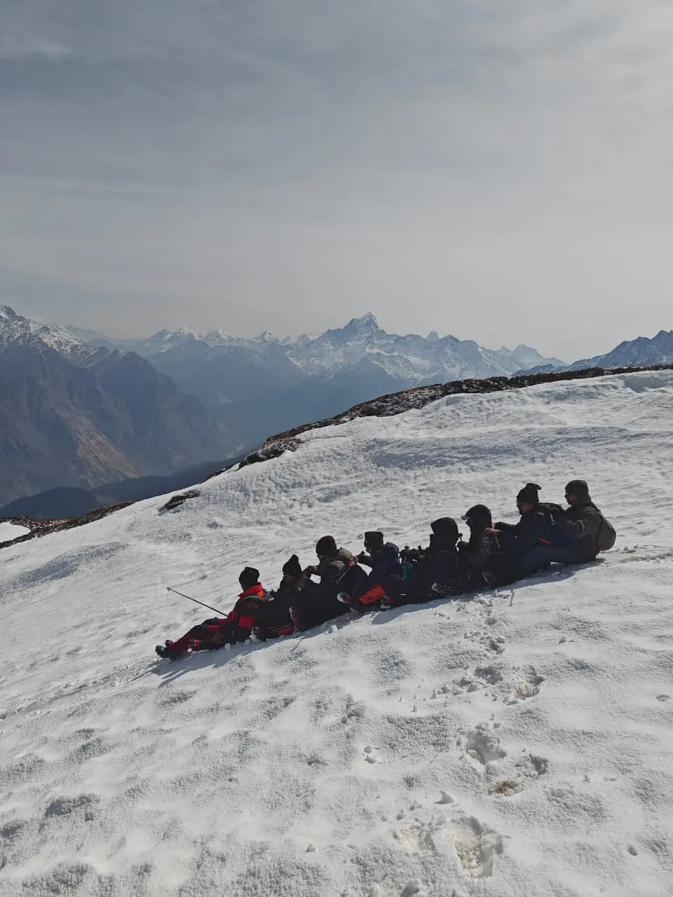
beautiful campsites like Gulling and Khullara, gradually leading to snow-covered
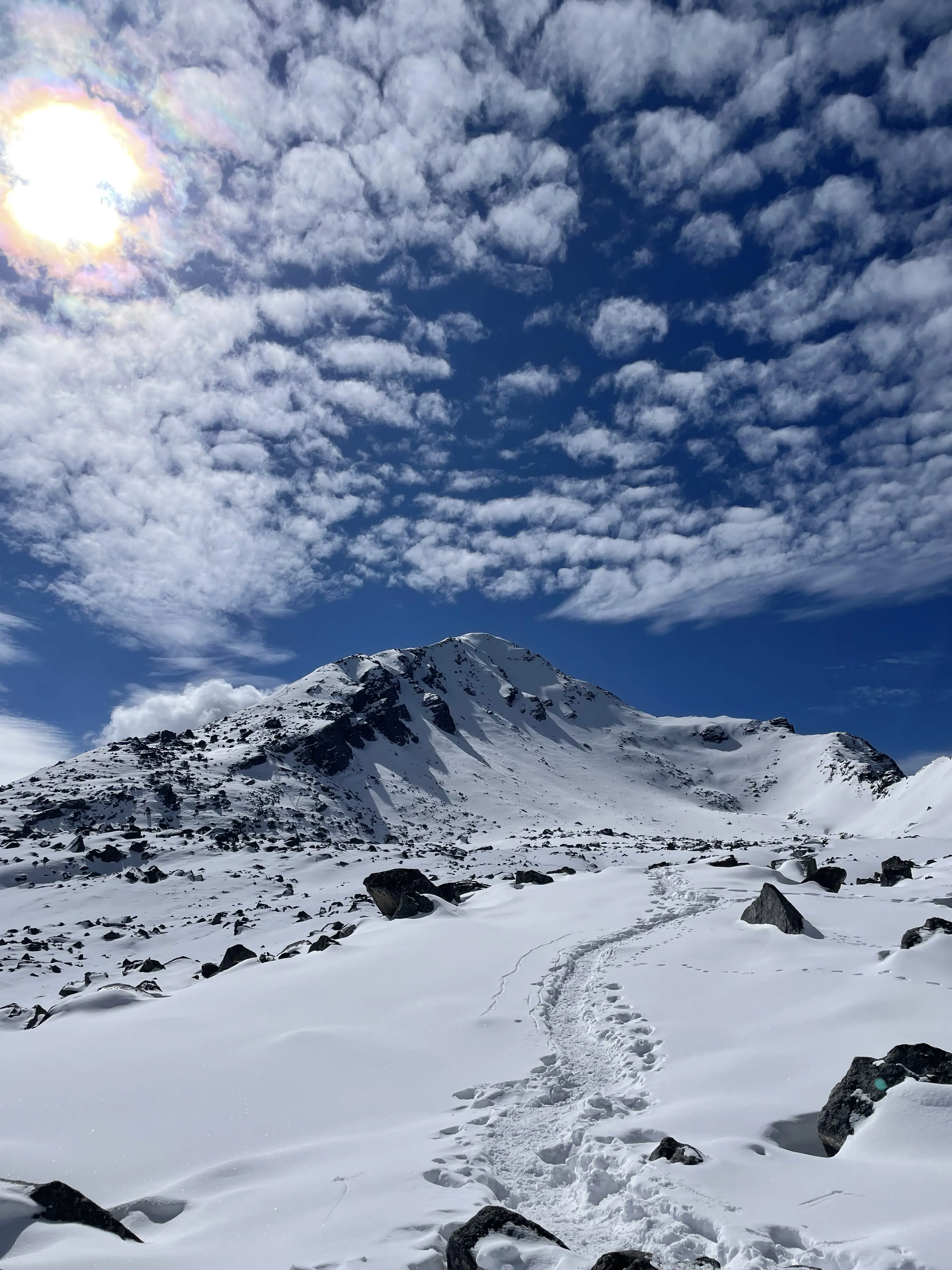
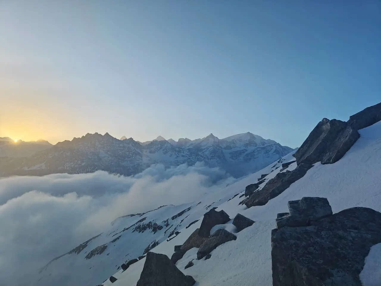
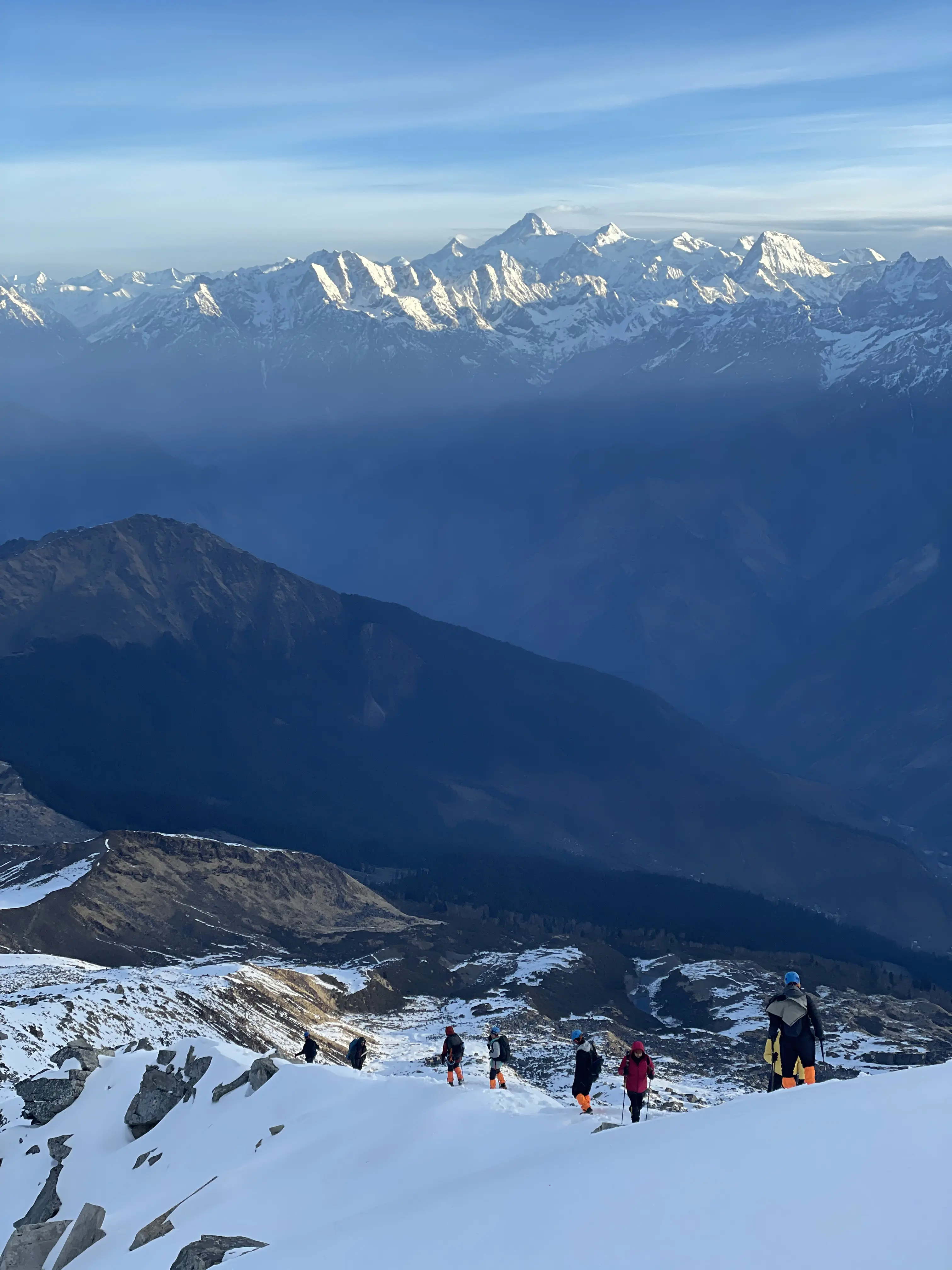
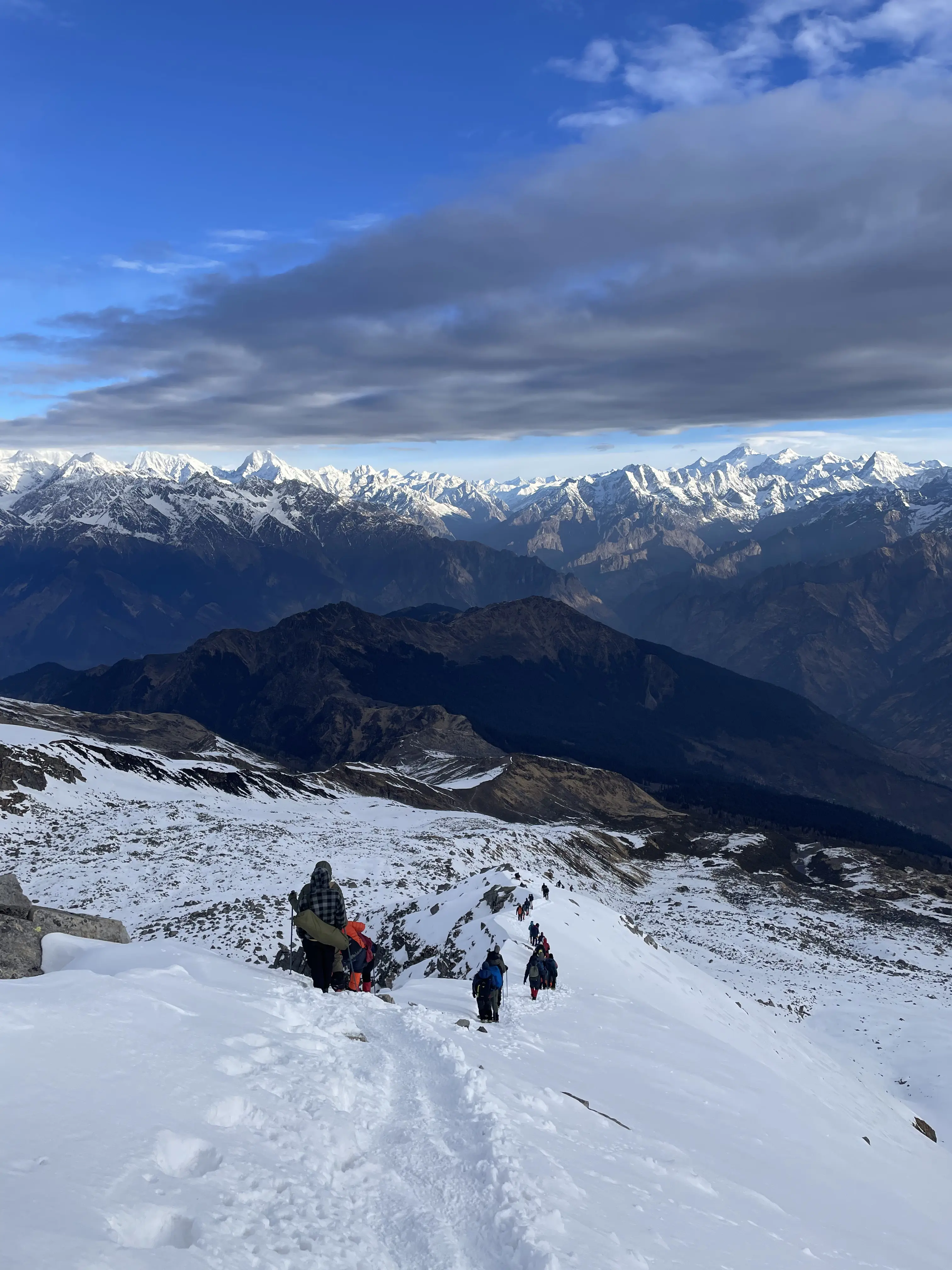
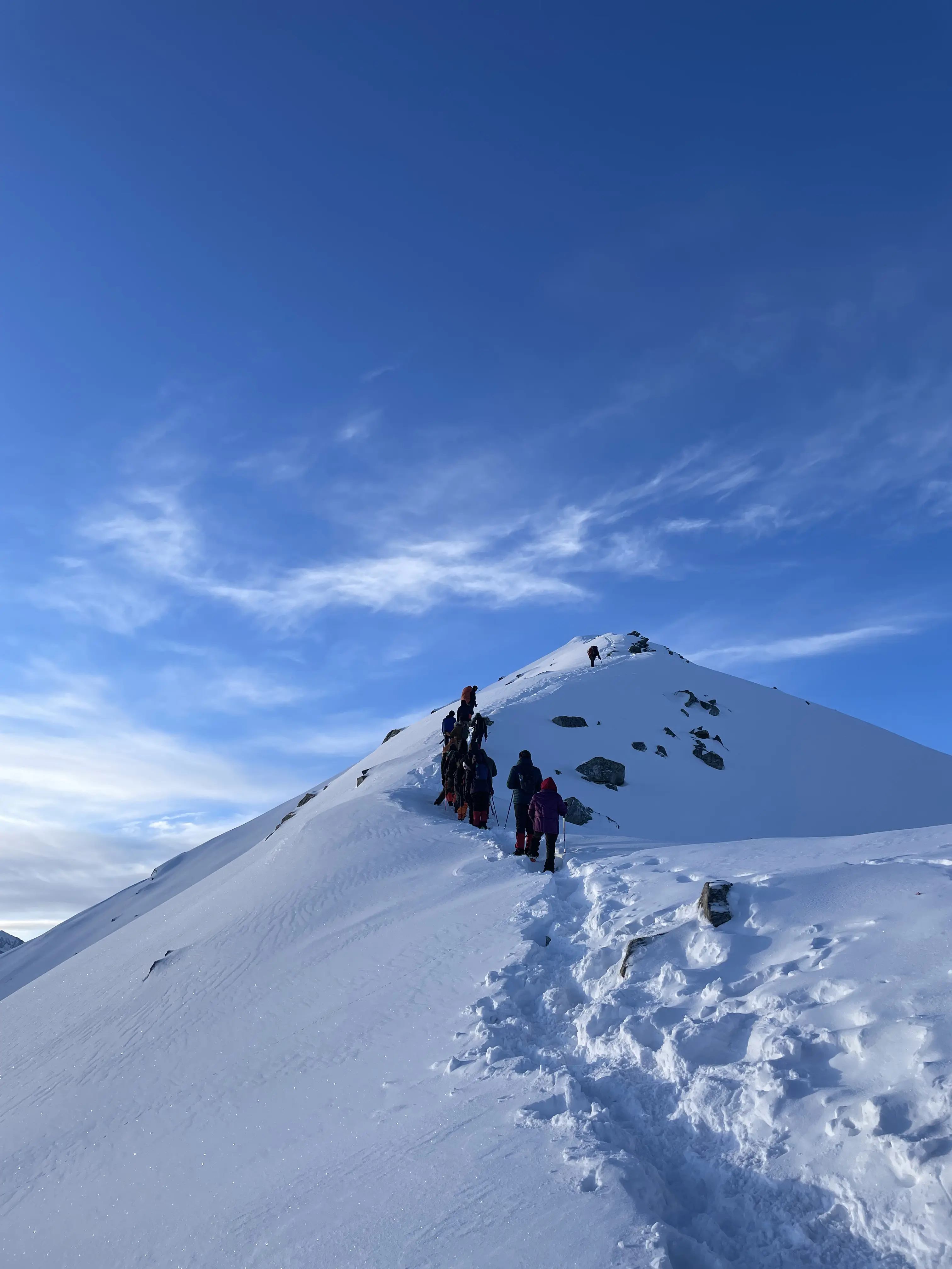
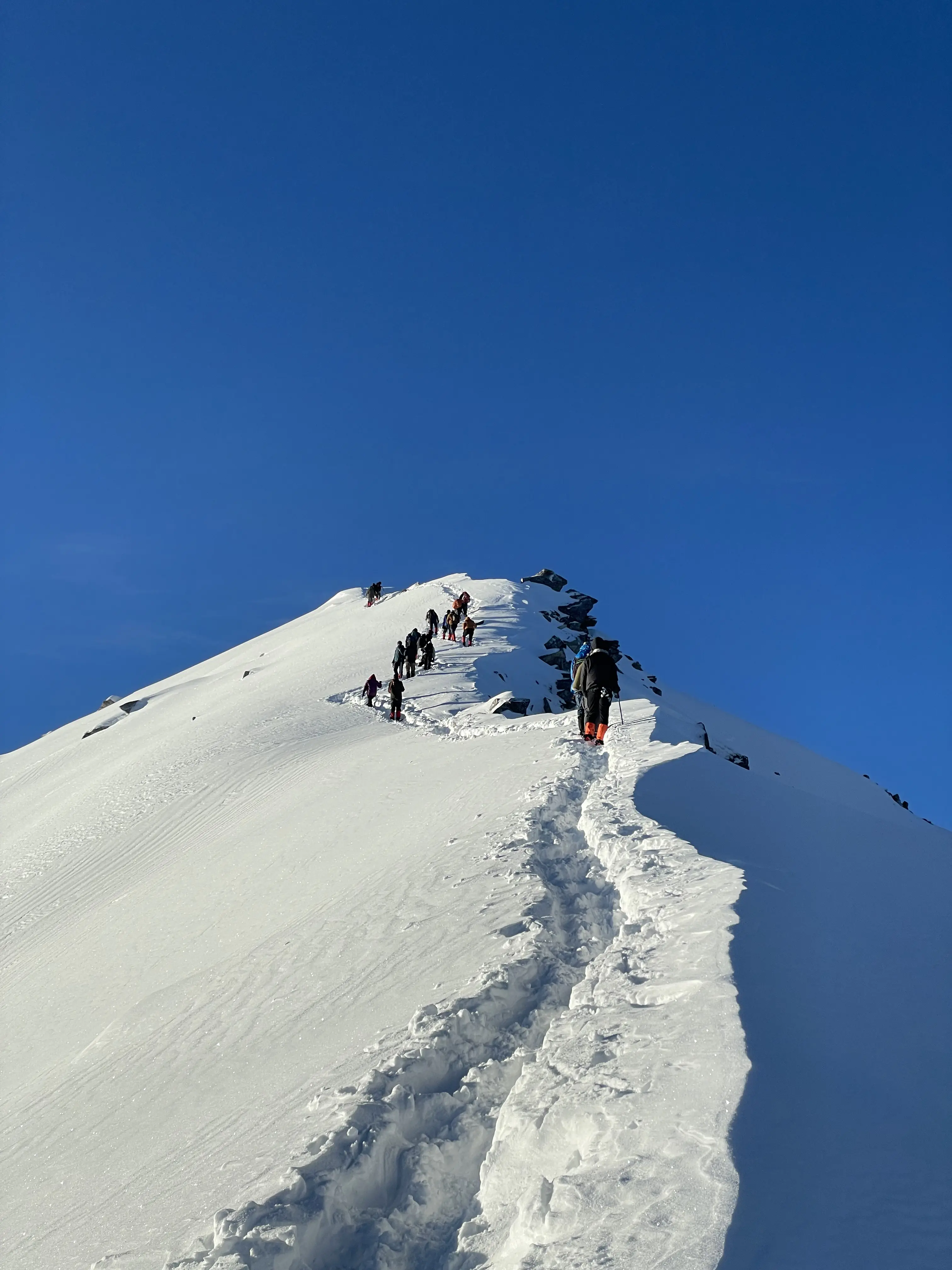
trails and breathtaking Himalayan views. The climb to the summit is challenging
but incredibly rewarding, making it a perfect choice for adventure lovers
seeking both thrill and scenic beauty.
Altitude :
Tugasi village: 2450m / 8000 ft.
Gulling Top: 2,850 m / 9,400 ft.
Trek Distance: 11 km | 7 - 8 hrs.
Mulling (approx. 3,200 m / 10,700 ft) is a beautiful first-night campsite on the Pangarchulla Peak Trek, known for its scenic transition from dense fir and rhododendron forests to wide, open meadows. Located around 11 km from Kafnu, the campsite is especially popular for its vibrant setting alongside the Bhaba River, making it a peaceful and refreshing halt for trekkers.
Altitude saruwas Thatch: 3,550 m/ 11,700 ft.
Trek Distance: 6 km | 4 - 5 hrs.
Kara is a scenic high-altitude meadow campsite (approx. 3,550–3,700 m) on the Pangarchulla Peak Trek, and an important stop for acclimatization between Mulling and Phutsirang. Nestled in Himachal Pradesh’s Bhaba Valley, it is famous for its lush green landscapes, grazing sheep, colorful wildflowers, and clear streams, often compared to the beautiful meadows of Kashmir.
Rest and Acclimatization at Kara
It presents a striking contrast to the previous day’s forest trail, opening up to vast green meadows, a gently flowing river, and breathtaking views of snow-capped peaks all around.
Altitude: 4,200 m/ 13,700 ft.
Trek Distance: 5 km | 4-5 hrs.
Phutsirang stands out as one of the most memorable highlights of the Pangarchulla Peak Trek, known for its rare combination of lush green landscapes and breathtaking panoramic mountain views. Often described as a “once-in-a-lifetime” experience, this region showcases a unique geographical contrast that makes it truly unforgettable for trekkers and nature lovers alike.
Altitude: Bwaldar - 4,150 m/ 13,600 ft.
Altitude: Pin Bhaba Pass - 4,900 m/ 16,100 ft.
Trek distance: 12 km | 10-12 hours.
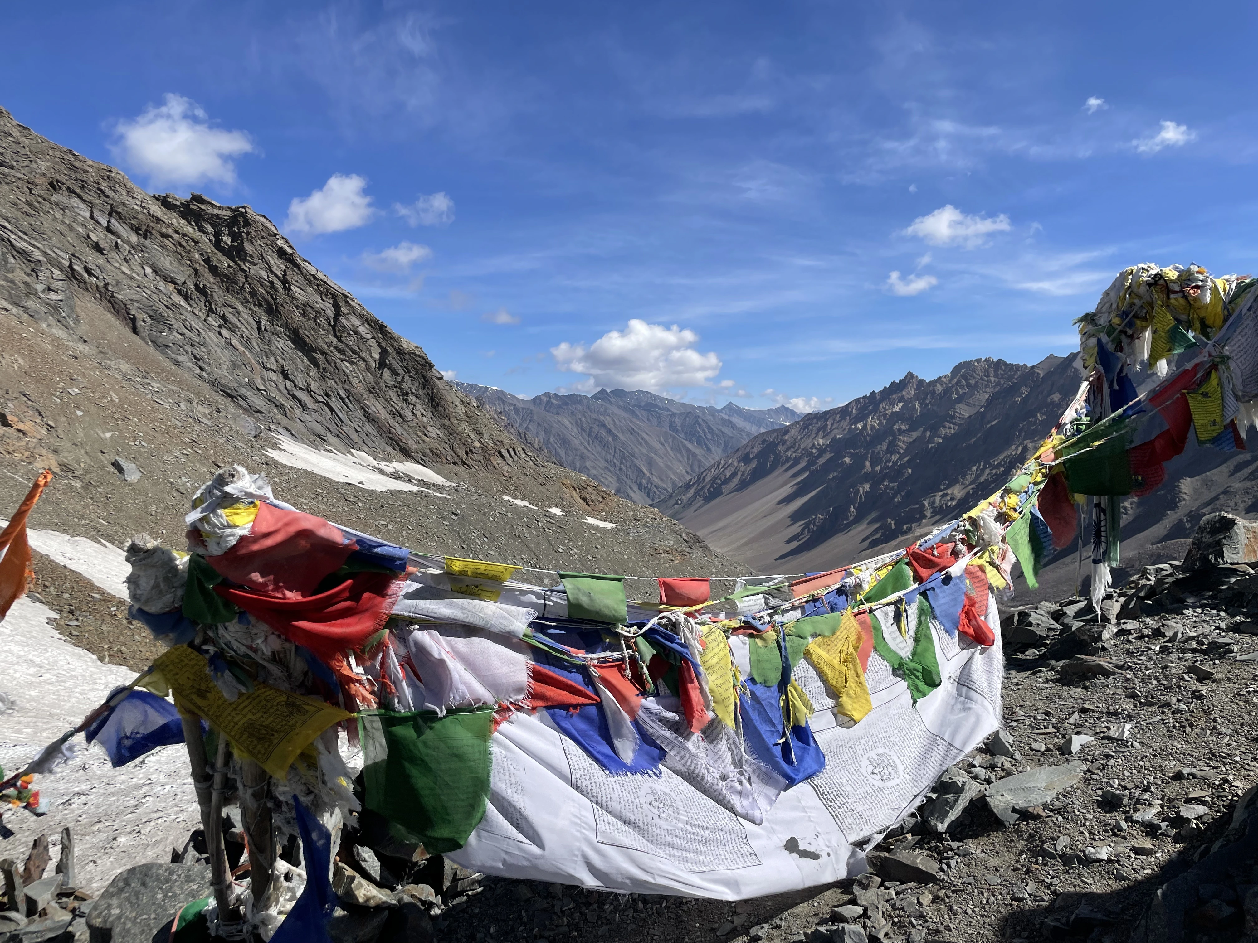
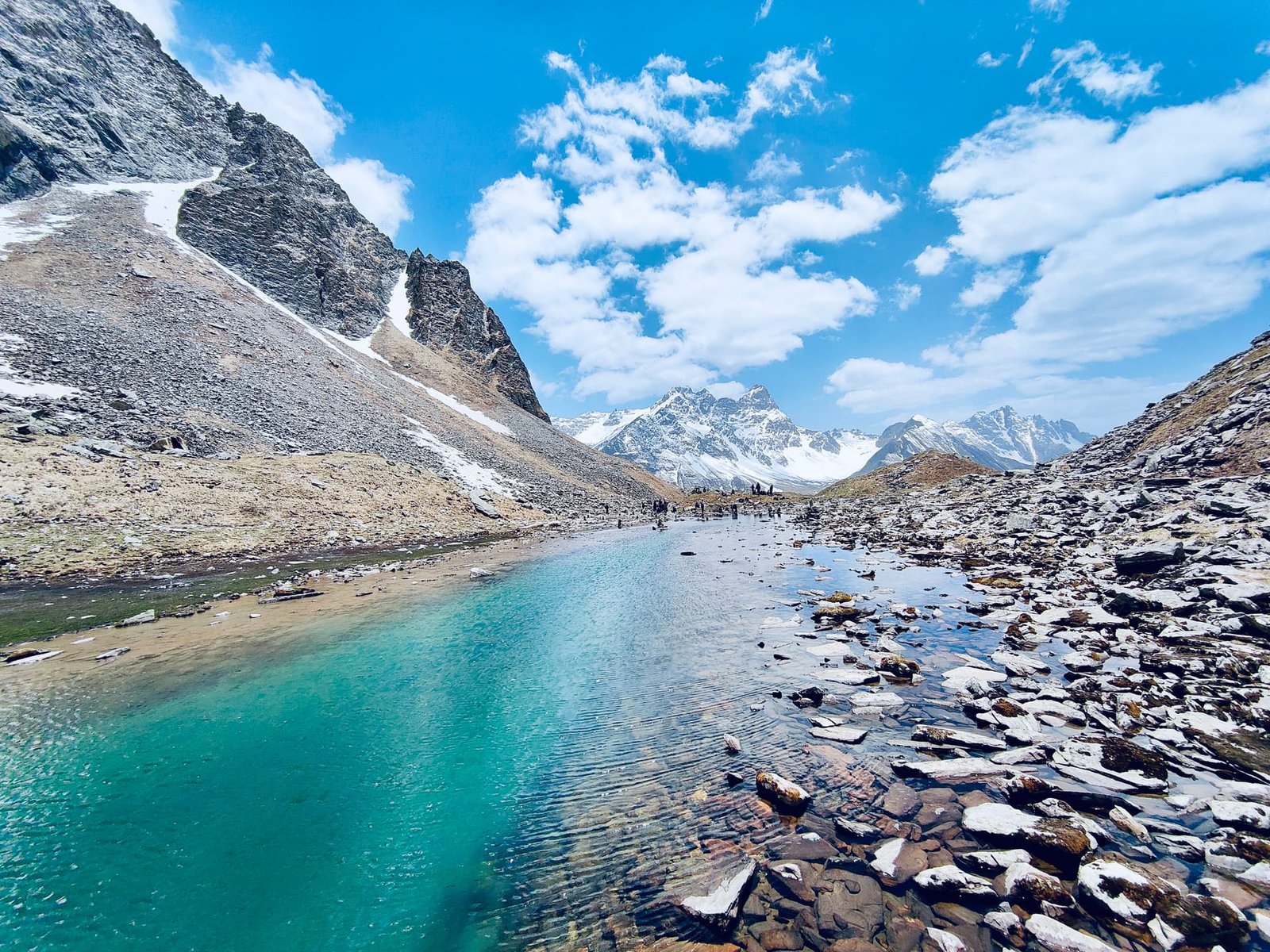
The trek from Phutsirang to Bwaldar via Pin Bhaba Pass is the most demanding and adventurous stretch of the entire Pangarchulla Peak Trek. This section includes a steep ascent that typically takes 3–4 hours to reach the pass, followed by a long trekking day of around 10–12 hours in total. Trekkers must navigate glacier crossings and endure a sharp, rocky descent that leads dramatically into the stark, arid landscapes of the Spiti Valley, making it both physically challenging and incredibly rewarding.
Altitude Mudh: 3,800 m/ 12,500 ft.
Trek Distance: 17 km | 7 - 8 hrs.
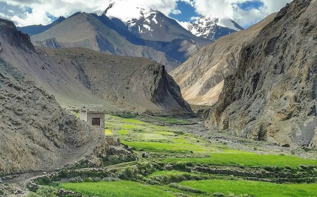
The journey from Bwaldar to Mudh, followed by a drive to Kaza, marks the final stretch of the Pangarchulla Peak Trek. This segment beautifully captures the dramatic transition from the lush, green landscapes of Kinnaur to the stark, high-altitude desert terrain of Spiti Valley, offering a striking contrast that defines the entire trekking experience.
Mudh to Kaza
Distance: Approximately 50 km
Duration: 2–3 hours
Route: The drive from Mudh leads you out of the scenic Pin
Valley, passing
through charming villages such as Guling, Mikkim, and Sangnam. The route then
joins the main highway (NH-505), continuing onward to Kaza, the administrative
hub of Spiti Valley.
Drive Distance: 200 km | 9 -10 hrs.
Trek Distance: 17 km | 7 - 8 hrs.
Departure: Start early in the morning for a smooth journey. Meals: Breakfast and lunch on the way (not included in the cost). Arrival: Expected arrival in Manali between 6:00 PM and 7:00 PM
- Apr 13 – Apr 25 10 Seats Left
- Apr 18 – Apr 30 7 Seats Left • Filling Fast
- Apr 19 – May 1 11 Seats Left
- Apr 24 – May 6 1 Seats Left • Filling Fast
- Apr 25 – May 7 Open
- May 2 – May 14 Open
- May 15 – May 27 15 Seats Left
- Jun 5 – Jun 17 Open
- Oct 10 – Oct 22 Open
- Nov 5 – Nov 17 Open
End Of Trip
By Bus
- Frequent buses from Delhi (ISBT Kashmiri Gate) to Dehradun.
- Delhi to Dehradun: 250 km | 6-7 hr via Meerut Expressway.
- Both Volvo (AC) and Ordinary (UTC) buses are available throughout the night.
By Train
- Nearest Junction: Dehradun Railway Station (DDN).
- Well connected by Nanda Devi Express, Jan Shatabdi, and Mussoorie Express.
- Highly recommended for a comfortable overnight journey from Delhi.
By Air
- Nearest Airport: Jolly Grant Airport (DED).
- Airport is ~25 km (1 hr) from the main Dehradun city center.
- Direct flights available from Delhi, Mumbai, and Bangalore.
The trek ends at Auli. From here, we provide transportation back to Dehradun Railway Station. Expect to reach Dehradun between 06:00 PM and 08:00 PM. Plan your onward journey accordingly.
- Age Requirement: Minimum 14 years.
- Experience: First-timers are welcome, though prior trekking experience is preferred. Good fitness is a must.
- Fitness Criteria:
- Ability to cover 5 km in 30 mins or 10 km in 70 mins without stress.
- For cycling enthusiasts: Ability to cycle 18 km in 50 minutes.
- Backpack Load: 10-12 kg (Self-carry) or 3-5 kg (Off-load option).
- Ideal BMI Range: 18.5 - 27.
Calculate Your BMI
Your BMI is within the healthy range.
Keep up the good work and maintain your fitness for the trek.
Enter your details to calculate your BMI and trekking eligibility.
- Pulse rate at rest must be between 60 to 100 bpm.
- BP Reading: 75-85 (DIA) / 100-130 (SYS) mm Hg.
- Respiratory rate: 12 to 20 breaths per minute.
- No history of chronic liver or kidney issues.
- No severe Diabetes, Asthma, Heart problems, or Hypertension.
- No pacemaker implants or similar devices.
- Consult our coordinator for Sinus issues or Epilepsy.
Complete packing list for your upcoming adventure. Ensure you have everything for a safe and comfortable journey.
| Item Name | Requirement |
|---|---|
|
Backpack with rain cover
|
(50 - 60 ltr) with comfortable shoulder straps |
|
Day pack with rain cover
|
20 - 30 ltr (If off-load opted) |
|
Walking stick
|
Advisable (At least one) |
|
Water Bottle / Hydration pack
|
2 bottles of one liter each, People who use hydration pack 1 hydration pack and 1 bottle of one liter, Carry at least one thermos flask. |
|
Small size tiffin/lunch box
|
1 Nos |
|
Snacks
|
Energy bars, dry fruits, electral/ors |
|
Personal Medical Kit
|
Consult your doctor |
|
T-Shirt (Synthetic quick dry)
|
2 Full & 2 Half sleeves |
|
Fleece T-shirt
|
2 Nos |
|
Fleece jacket
|
1 Nos |
|
Windproof Jacket
|
1 Nos. |
|
Down feather / Hollow jacket
|
1 Nos. |
|
Thermal inner (Upper & Lower)
|
1 Pair |
|
Trek Pant (Synthetic quick dry)
|
3 Nos. |
|
Fleece Pant
|
1 Nos. |
|
Waterproof gloves
|
1 Pair |
|
Fleece / woollen gloves
|
1 Pair |
|
Poncho / Waterproof Jacket & Pant
|
1 Nos. |
|
Head torch
|
1 Nos. (Avoid Hand torch) |
|
Sun Cap
|
1 Nos. |
|
Woolen cap
|
1 Nos. |
|
Balaclava
|
1 Nos. |
|
Buff / Neck-gaiters
|
1 Synthetic & 1 Woollen |
|
Sunglasses
|
UV with dark side cover. (A)- Use contact lenses | (B)- Photo chromatic glasses for spectacle wearers. |
|
Trekking shoes
|
1 Pair (Water-resistant, high ankle, good grip) |
|
Floaters / flip-flops
|
1 Pair |
|
Cotton socks
|
8 pairs |
|
Woollen socks
|
3 pairs |
|
Gaiters
|
1 Pair (Next Peak provides when required) |
|
Micro spikes
|
1 Pair (Next Peak provides when required) |
|
Sunscreen
|
1 Nos. |
|
Moisturiser
|
1 Nos. |
|
Chap-stick / Lip balm
|
1 Nos. |
|
Toothbrush & Toothpaste
|
1 Nos. |
|
Toilet paper & Wipes
|
1 Nos. |
|
Soap / Hand Sanitizers
|
1 Nos. |
|
Antibacterial Powder
|
1 Nos. |
|
Quick Dry Towel
|
1 Nos. |