The Ultimate Pass Crossing
From the ancient architecture of Janglik to the thrilling 15,000 ft summit of Buran Pass, venture through oak forests, glacial lakes, and the scenic orchards of Barua.
Altitude: 2,800 m/ 9,200 ft.
Drive Distance: 160 km | 9-10 hr.
Janglik is a charming traditional village in the Rohru tehsil of Shimla district, Himachal Pradesh, believed to be around 400–500 years old. Perched at an altitude of approximately 9,200 ft, it serves as the base camp for the scenic Buran Ghati Trek and the Chandranahan Lake trek. The village is known for its distinctive wooden houses with stone roofs, lush apple orchards, and its role as the last motorable point before the trail enters dense forest landscapes.
Altitude: 3,400 m/ 11,150 ft.
Drive Distance: 6-7 km | 5-6 hr.
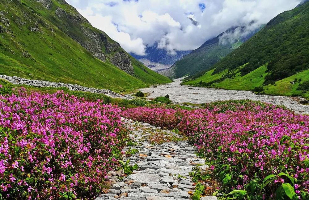
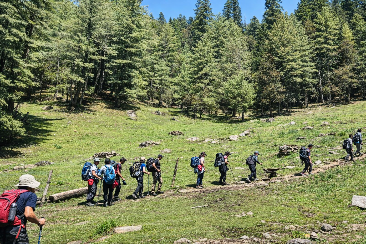
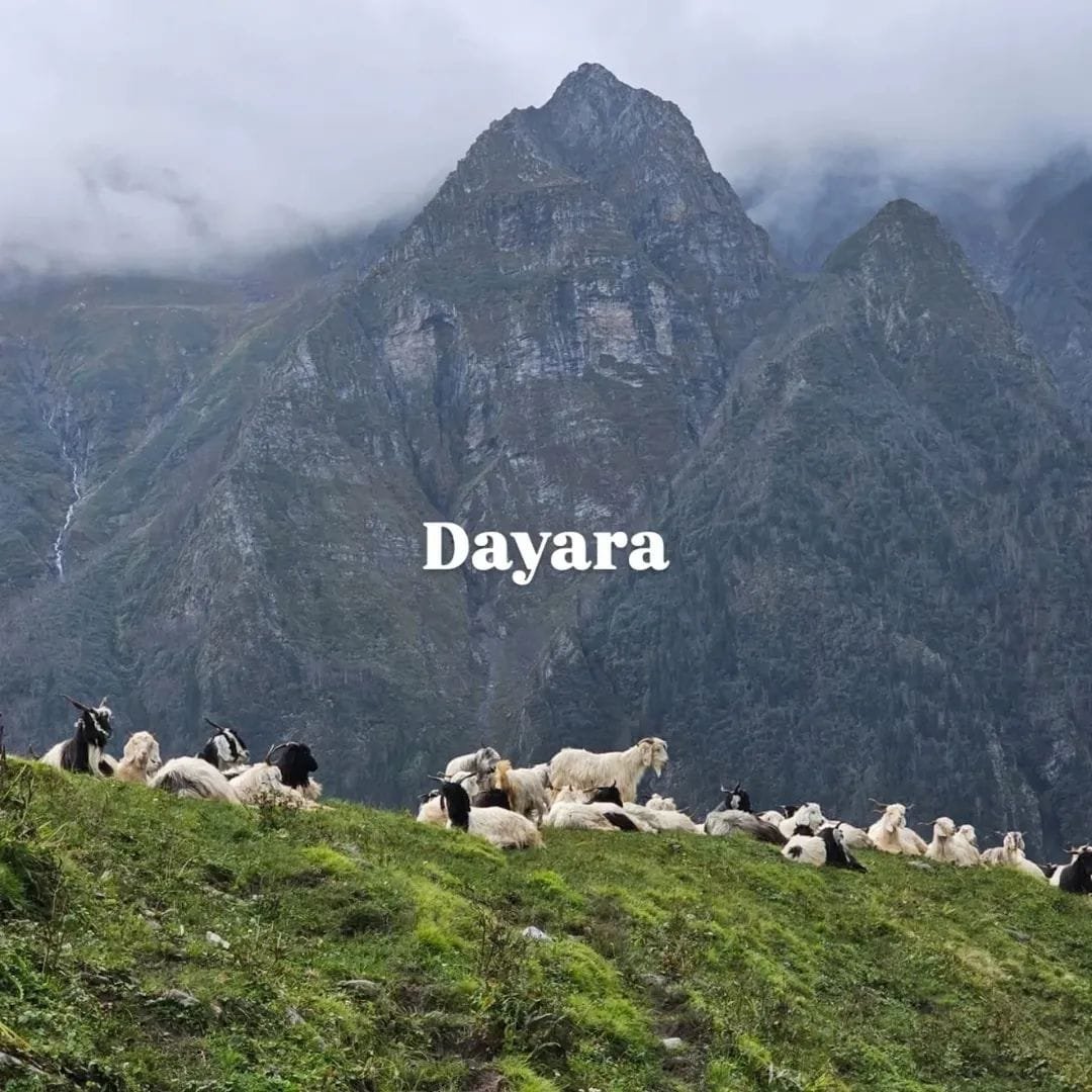
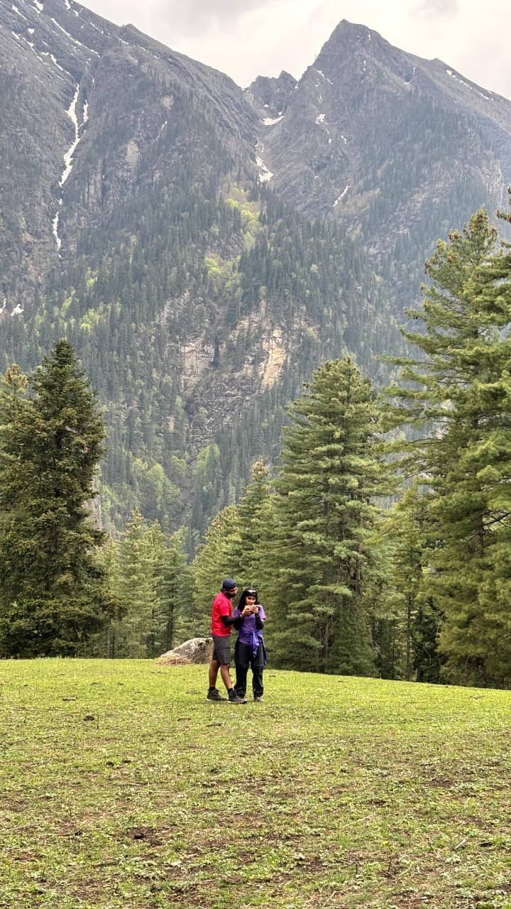
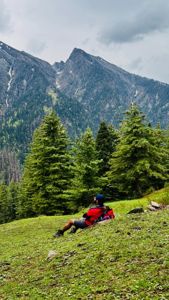
Dayara Thach is a beautiful, wide high-altitude meadow located at around 11,000–11,150 ft in Himachal Pradesh’s Pabbar Valley. It’s one of the main camping spots on the Buran Ghati trek, which begins from Janglik village. What makes this place really special is its endless stretches of lush green meadows, dotted with wildflowers, and the breathtaking views of the dense forests all around—it feels calm, open, and truly refreshing.
Altitude Jakha: 3,200 m/ 10,700 ft.
Trek Distance: 11 km | 7 - 8 hrs.
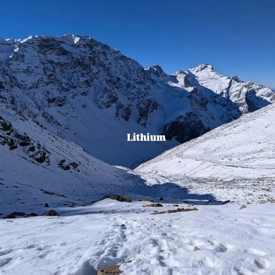
Litham Campsite (approx. 11,700 ft) is a breathtaking high-altitude meadow in Himachal Pradesh and a key stop on the Buran Ghati Trek. Nestled near the Chandranahan stream, it offers a peaceful or scenic setting for trekkers to rest and acclimatize. Surrounded by snow-clad peaks and offering stunning views of the Chandranahan waterfalls, Litham is typically reached after crossing from Dayara Thach, making it one of the most scenic highlights of the trek.
Altitude: 4,023 m/ 13,200 ft.
Trek Distance: 6 km Both side | 6-7 hr.
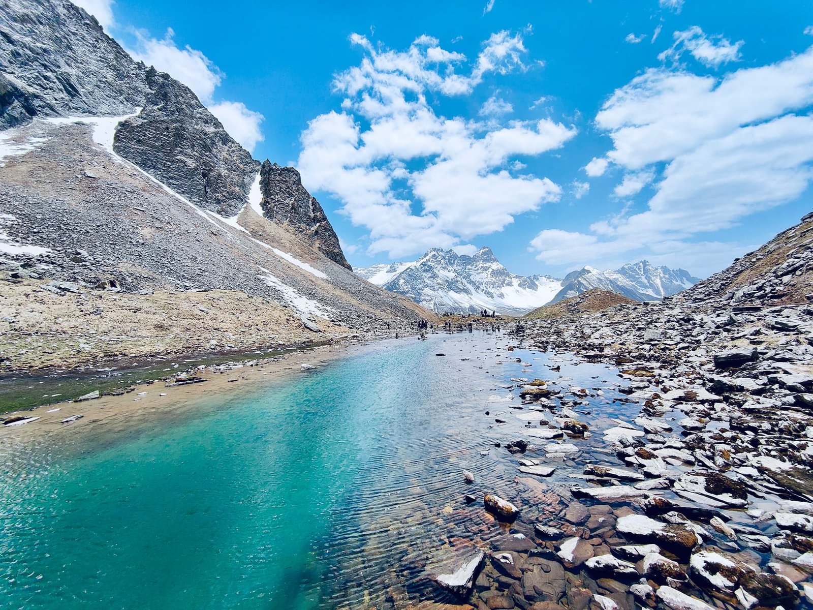
Chandranahan Lake is a stunning high-altitude glacial lake situated at an elevation of 13,800–13,900 feet in the Pabbar Valley of Himachal Pradesh’s Shimla district. Revered as the sacred source of the Pabbar River, it is a popular trekking destination that typically takes 4–6 days, starting from Janglik village. The trail offers a mesmerizing journey through scenic meadows like Litham, cascading waterfalls, and a series of seven smaller glacial ponds, making it a rewarding experience for trekkers and nature enthusiasts alike.
Altitude: 4,000 m/ 13,100 ft.
Trek Distance: 4-5 km | 4-5 hrs.
Dhunda is a high-altitude campsite at around 13,300 ft on the Buran Ghati Trek in Himachal Pradesh. It serves as the base before crossing Buran Pass and is reached after Litham. Surrounded by snow-clad peaks and open landscapes, it’s a key stop for acclimatization and preparation for the trek’s most challenging section.
Munirang Campsite Altitude: 3,400 m/ 11,100 ft.
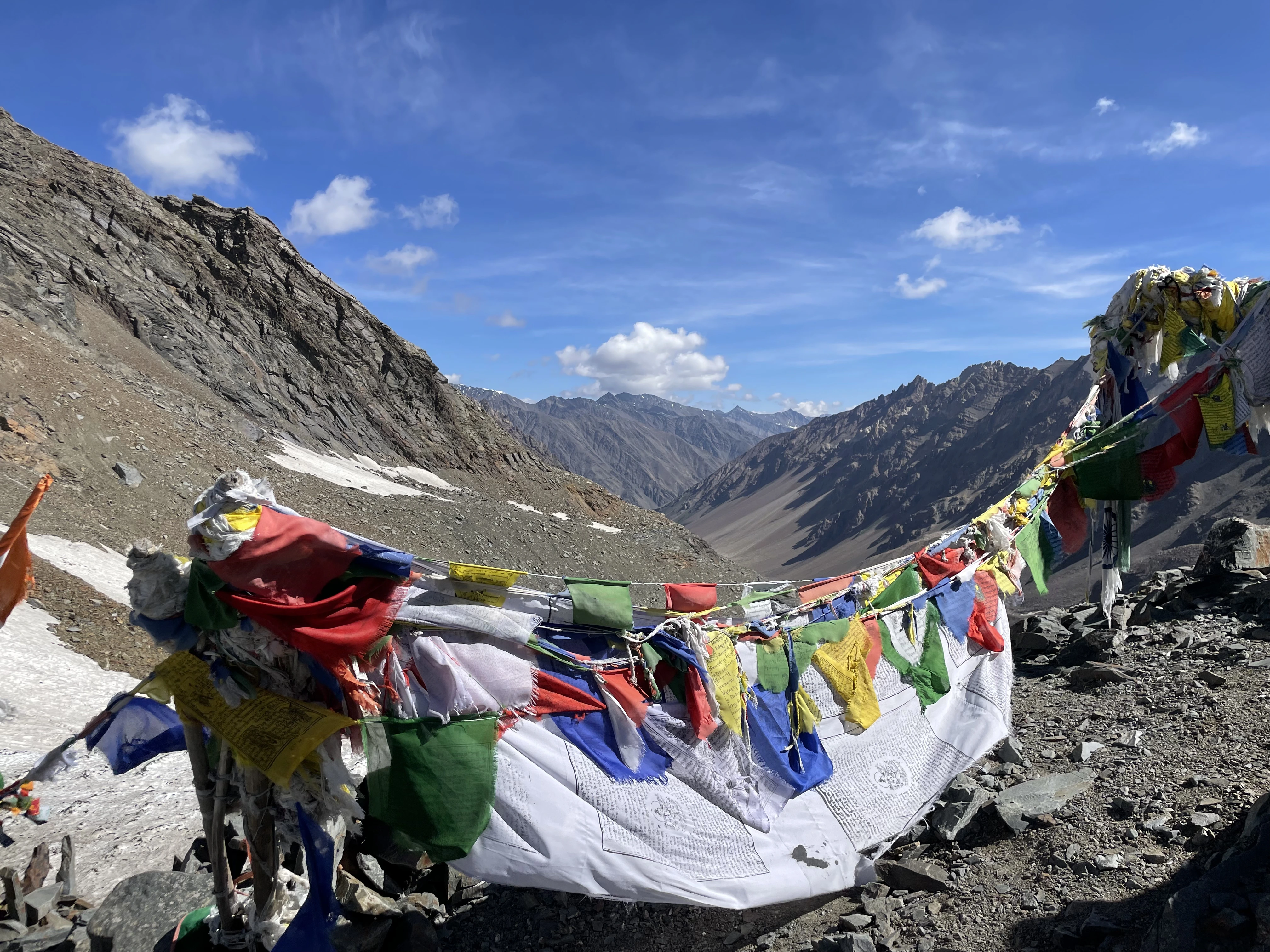
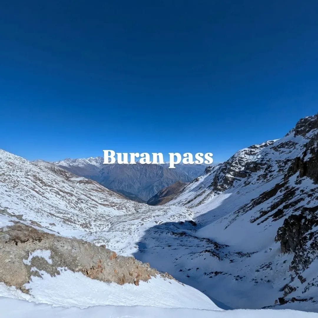
Buran Ghatti Pass: 4,550 m/ 15,000 ft.
Trek Distance: 8 km (10 - 11 hrs approx).
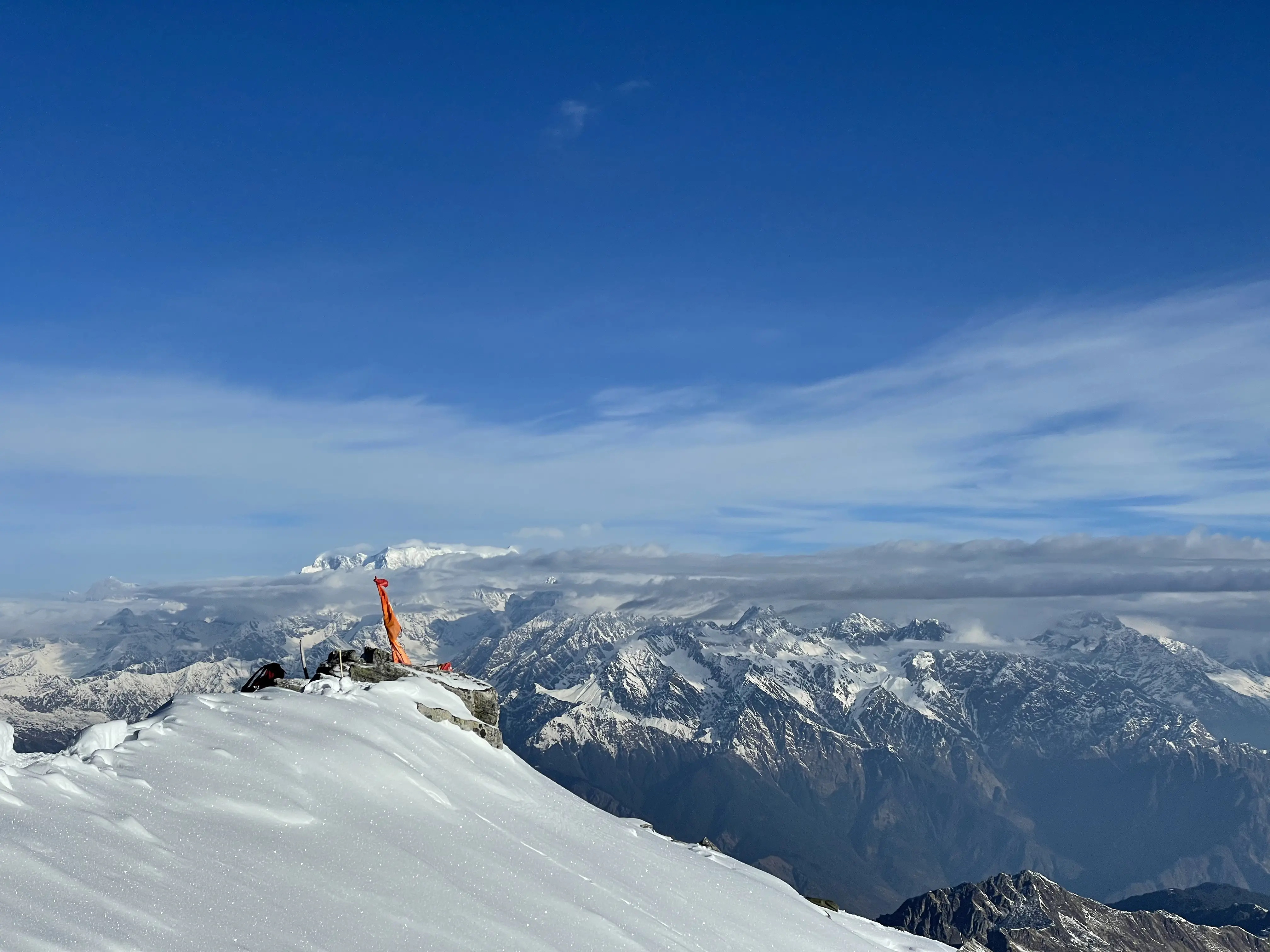
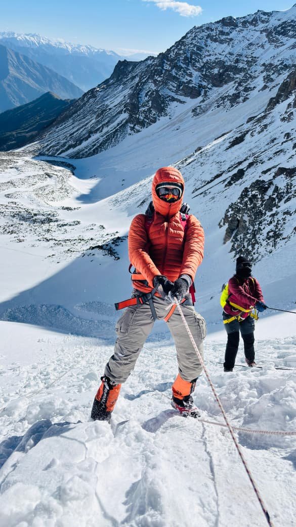
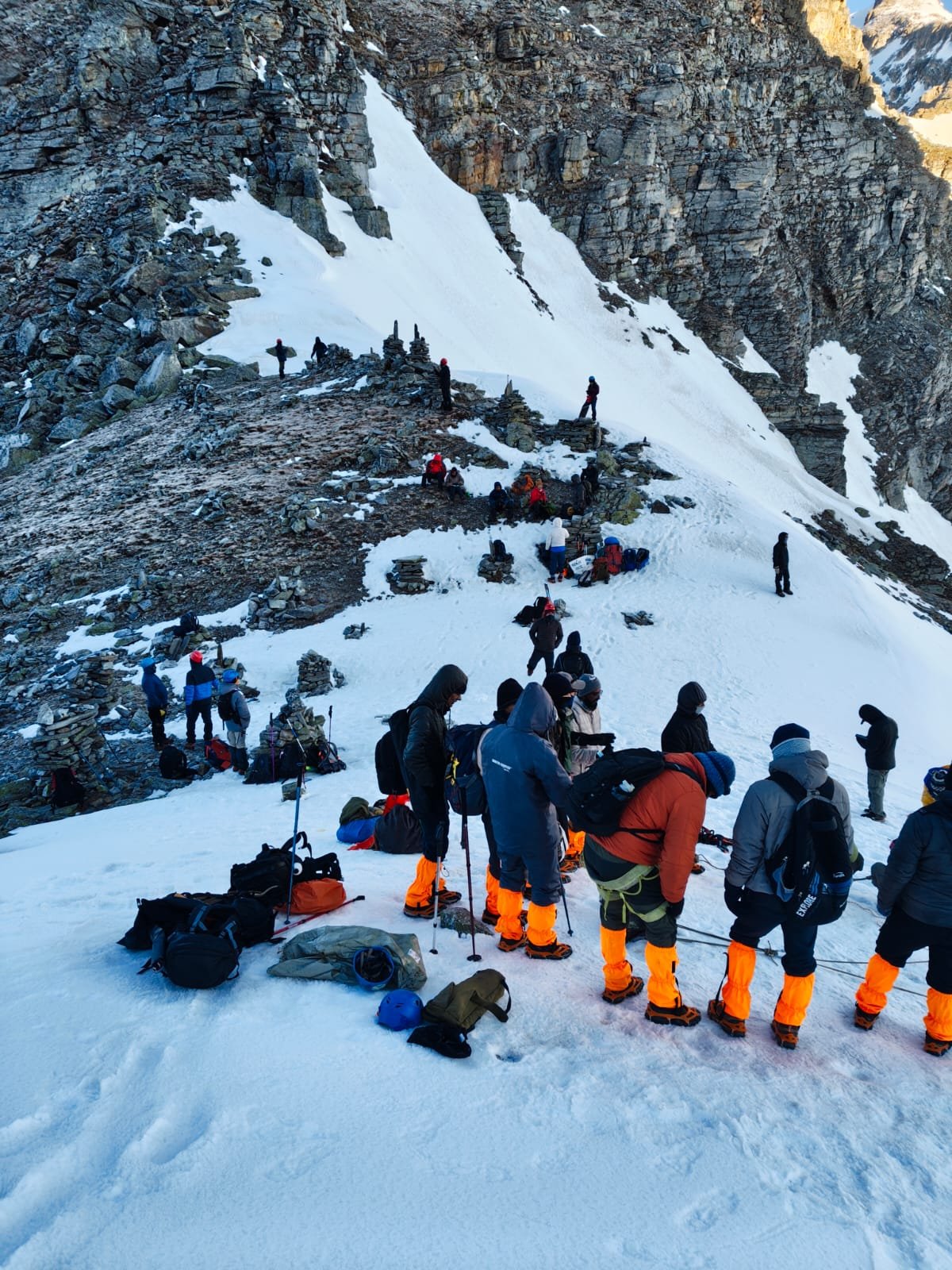
The trek from Dhunda (13,300 ft) to Munirang River Camp (11,800 ft) via Buran Pass (15,000 ft) is the most challenging and thrilling day of the Buran Ghati Trek. Covering around 7–8 km in 9–11 hours, it involves steep climbs over snow and boulders, followed by a dramatic descent of over 3,000 ft into the Kinnaur Valley. This stretch offers breathtaking panoramic views of the Kinnaur-Kailash range, making it the highlight of the trek.
Altitude: 2,300 m/ 7,700 ft.
Trek distance: 5-6 km | 2-3 hr.
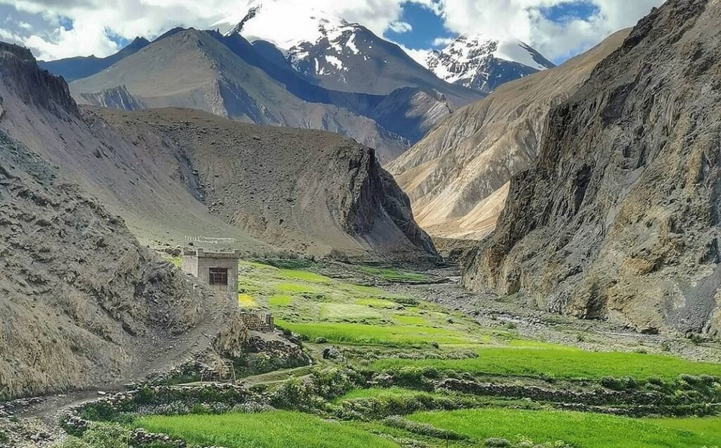
The final day of the Buran Ghati Trek features a steep 6 km descent from Munirang (or Dhunda) to Barua Village, taking around 3–4 hours. The trail passes through pine forests, apple orchards, and scenic Himalayan villages, ending at Barua bridge. From here, a long drive of लगभग 200 km (9–10 hours) takes you back to Shimla, with arrival usually late at night.
- May 09 – May 15 Open
- May 10 – May 16 Open
- May 16 – May 22 Open
- May 17 – May 23 Open
- May 23 – May 29 Open
- May 24 – May 30 Open
- May 30 – June 05 Open
- May 31 – June 06 Open
- Jun 06 – Jun 12 Open
- Jun 07 – Jun 13 Open
- Jun 13 – Jun 19 Open
- Jun 14 – Jun 20 Open
- Sep 10 – Sep 16 Open
- Sep 11 – Sep 17 Open
- Sep 18 – Sep 24 Open
- Sep 19 – Sep 25 Open
- Sep 20 – Sep 26 Open
- Sep 21 – Sep 27 Open
- Sep 25 – Oct 1 Open
- Sep 27 – Oct 3 Open
- Sep 28 – Oct 4 Open
- Oct 2 – Oct 8 Open
- Oct 3 – Oct 9 Open
- Oct 4 – Oct 10 Open
- Oct 5 – Oct 11 Open
- Oct 10 – Oct 16 Open
- Oct 11 – Oct 17 Open
End Of Trip
By Bus
- Overnight HRTC or Volvo buses from Delhi (ISBT Kashmiri Gate).
- Chandigarh to Shimla: 120 km | 4 hr (Highly Recommended).
- Delhi to Shimla: 350 km | 10 hr.
- Always prefer Govt. buses for reliability and safety.
By Train
- Take a train till Kalka Railway Station.
- From Kalka, enjoy the famous Himalayan Toy Train to Shimla.
- Alternatively, hire a private cab or take a bus from Kalka to Shimla.
- Recommended to arrive one day early if taking the toy train.
By Air
- Nearest Airport: Jubbarhatti Airport (SLV), Shimla.
- Airport is ~22 km (50 min) from the main Shimla city.
- Limited flights; Chandigarh Airport (IXC) is a more reliable alternative.
The trek ends at Barua Bridge. From here, we provide transportation back to Shimla Old Bus Stand. Expect to reach Shimla between 11:00 PM and 01:00 AM. It is highly advisable to keep a buffer day in your travel plan.
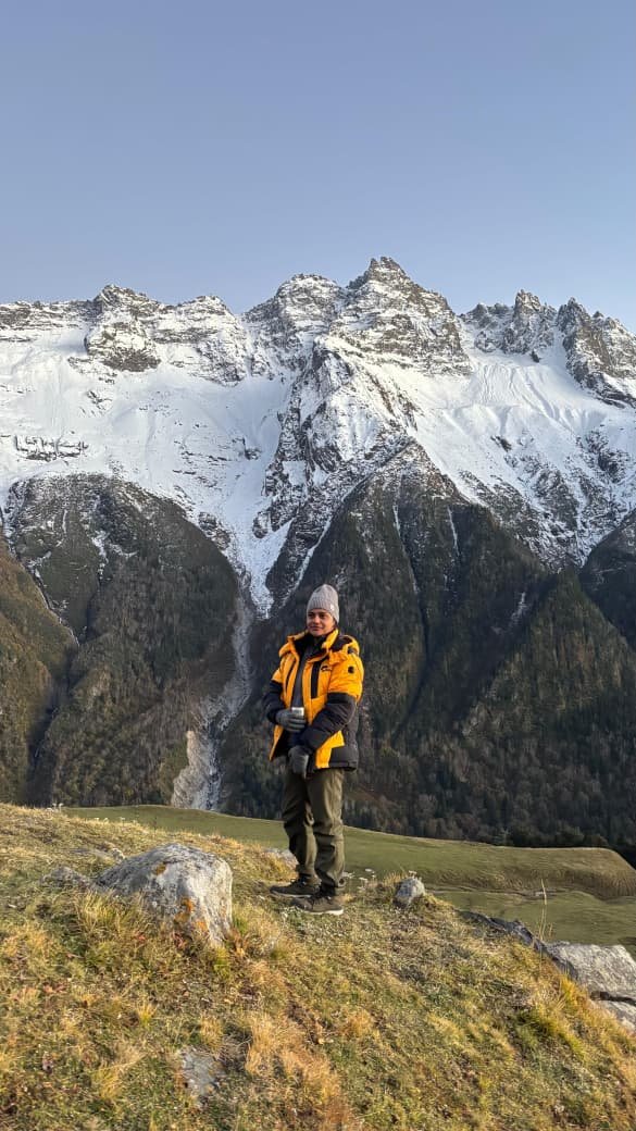
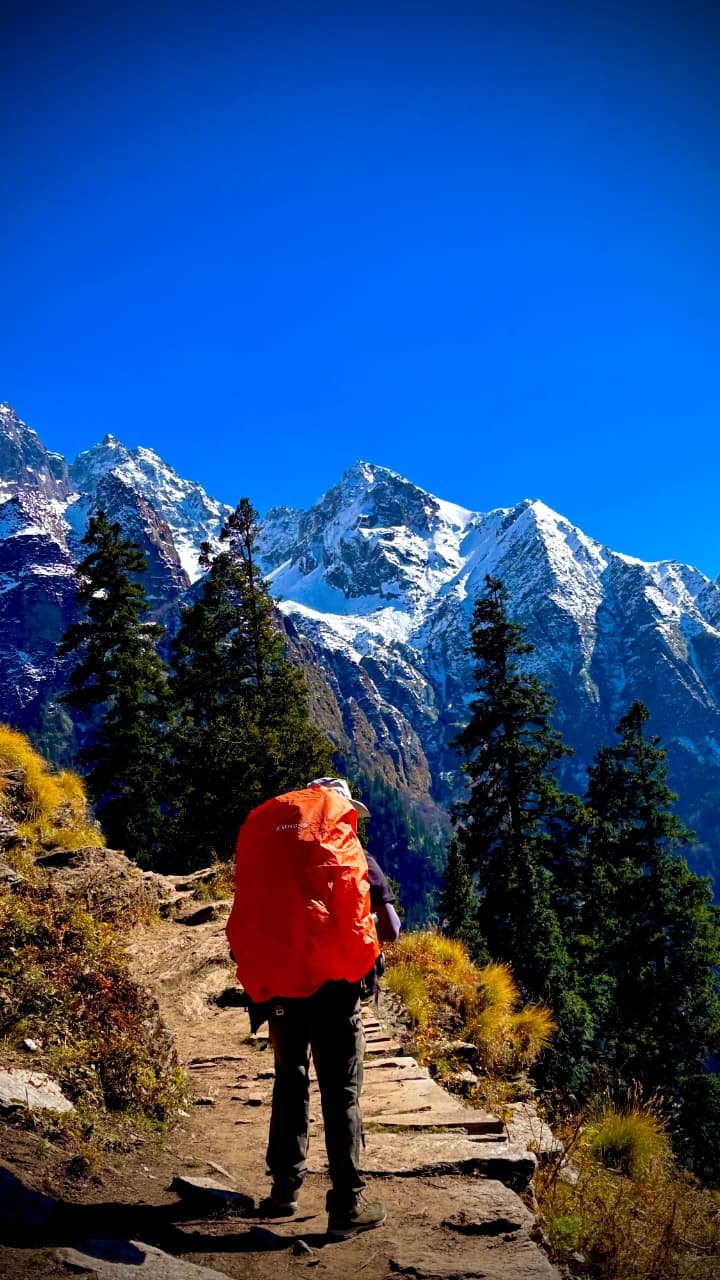
- Age Requirement: Minimum 14 years.
- Experience: First-timers are welcome, though prior trekking experience is preferred. Good fitness is a must.
- Fitness Criteria:
- Ability to cover 5 km in 30 mins or 10 km in 70 mins without stress.
- For cycling enthusiasts: Ability to cycle 18 km in 50 minutes.
- Backpack Load: 10-12 kg (Self-carry) or 3-5 kg (Off-load option).
- Ideal BMI Range: 18.5 - 27.
Calculate Your BMI
Your BMI is within the healthy range.
Keep up the good work and maintain your fitness for the trek.
Enter your details to calculate your BMI and trekking eligibility.
- Pulse rate at rest must be between 60 to 100 bpm.
- BP Reading: 75-85 (DIA) / 100-130 (SYS) mm Hg.
- Respiratory rate: 12 to 20 breaths per minute.
- No history of chronic liver or kidney issues.
- No severe Diabetes, Asthma, Heart problems, or Hypertension.
- No pacemaker implants or similar devices.
- Consult our coordinator for Sinus issues or Epilepsy.
Complete packing list for your upcoming adventure. Ensure you have everything for a safe and comfortable journey.
| Item Name | Requirement |
|---|---|
|
Backpack with rain cover
|
(50 - 60 ltr) with comfortable shoulder straps |
|
Day pack with rain cover
|
20 - 30 ltr (If off-load opted) |
|
Walking stick
|
Advisable (At least one) |
|
Water Bottle / Hydration pack
|
2 bottles of one liter each, People who use hydration pack 1 hydration pack and 1 bottle of one liter, Carry at least one thermos flask. |
|
Small size tiffin/lunch box
|
1 Nos |
|
Snacks
|
Energy bars, dry fruits, electral/ors |
|
Personal Medical Kit
|
Consult your doctor |
|
T-Shirt (Synthetic quick dry)
|
2 Full & 2 Half sleeves |
|
Fleece T-shirt
|
2 Nos |
|
Fleece jacket
|
1 Nos |
|
Windproof Jacket
|
1 Nos. |
|
Down feather / Hollow jacket
|
1 Nos. |
|
Thermal inner (Upper & Lower)
|
1 Pair |
|
Trek Pant (Synthetic quick dry)
|
3 Nos. |
|
Fleece Pant
|
1 Nos. |
|
Waterproof gloves
|
1 Pair |
|
Fleece / woollen gloves
|
1 Pair |
|
Poncho / Waterproof Jacket & Pant
|
1 Nos. |
|
Head torch
|
1 Nos. (Avoid Hand torch) |
|
Sun Cap
|
1 Nos. |
|
Woolen cap
|
1 Nos. |
|
Balaclava
|
1 Nos. |
|
Buff / Neck-gaiters
|
1 Synthetic & 1 Woollen |
|
Sunglasses
|
UV with dark side cover. (A)- Use contact lenses | (B)- Photo chromatic glasses for spectacle wearers. |
|
Trekking shoes
|
1 Pair (Water-resistant, high ankle, good grip) |
|
Floaters / flip-flops
|
1 Pair |
|
Cotton socks
|
8 pairs |
|
Woollen socks
|
3 pairs |
|
Gaiters
|
1 Pair (Next Peak provides when required) |
|
Micro spikes
|
1 Pair (Next Peak provides when required) |
|
Sunscreen
|
1 Nos. |
|
Moisturiser
|
1 Nos. |
|
Chap-stick / Lip balm
|
1 Nos. |
|
Toothbrush & Toothpaste
|
1 Nos. |
|
Toilet paper & Wipes
|
1 Nos. |
|
Soap / Hand Sanitizers
|
1 Nos. |
|
Antibacterial Powder
|
1 Nos. |
|
Quick Dry Towel
|
1 Nos. |